🌪️ SEVERE WEATHER OUTLOOK – SUNDAY, JUNE 22, 2025 (16:30Z Update)
SPC Risk Level: SLIGHT (Level 2 of 5)
Valid through 7 AM CDT Monday
📍 Major Cities in Risk Zones
🟡 SLIGHT Risk: Philadelphia, PA, Sioux Falls, SD, Allentown, PA, Fargo, ND, Duluth, MN
🟢 MARGINAL Risk: Minneapolis, MN, Buffalo, NY, St. Paul, MN, Lincoln, NE, Rochester, NY
🌪️ Tornado Risk Zones
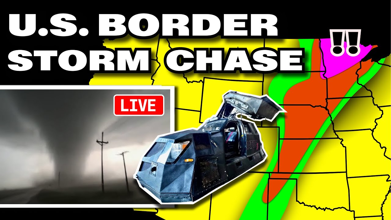
🟤 5% Tornado Risk: Fargo, ND, Moorhead, MN, West Fargo, ND, Hibbing, MN, Fergus Falls, MN
🟢 2% Tornado Risk: Sioux Falls, SD, Duluth, MN, St. Cloud, MN, Grand Forks, ND, Andover, MN
📊 What the Percentages Mean
A 5% tornado risk means there’s a 1 in 20 chance of a tornado occurring within 25 miles of a point. These are significant probabilities that indicate a greater chance for strong, potentially damaging tornadoes.
📝 Overview
Severe thunderstorms are expected across a wide swath of the U.S. today, including the Upper Midwest, Northern Plains, and parts of the Northeast. Supercells and storm clusters are likely to bring threats of large hail, damaging winds, and tornadoes—particularly over northern Minnesota and eastern North Dakota.
⛈️ Hazards Include
🧊 Large hail (1–2" likely; isolated 2+ inches possible in MN/ND)
💨 Damaging wind gusts (especially as storms congeal into clusters)
🌪️ Tornadoes most likely in northern MN and northeast ND
🕓 Timeline
🕒 3–6 PM CDT: Scattered supercells form across eastern ND and western MN
🌆 6–10 PM CDT: Storms expand and congeal, with large hail and tornado threats
🌒 10 PM – 2 AM CDT: Bowing segments increase wind threat into MN, WI, and the U.P.
📌 Regional Notes
🟡 Northern MN and eastern ND: Prime tornado and hail zone late afternoon to early evening
🟡 Central/Southern High Plains: Outflow-dominant wind storms expected by late day
🟡 Northeast U.S.: Afternoon heating may allow strong storms to develop along outflow; isolated damaging winds and hail possible
⚠️ Stay Weather-Aware
If you're in or near Fargo, Duluth, Sioux Falls, or St. Cloud, have multiple ways to receive weather warnings today. These storms may intensify rapidly and could pose a serious threat after sunset.
———————————
In-Vehicle
Driver, Man-of-Action - @ReedTimmerWx
Navigator, Man-of-Music - @localmanweatherofficial
Engineer, Man-of-Iron - @willclay25
@StormFrontFreaks
Studio
Guy in the corner - @brianvotoole
Thanks United Cajun Navy - https://unitedcajunnavy.org/
And Thanks to RED EARTH TECH! - https://www.red-earth.tech/

Информация по комментариям в разработке