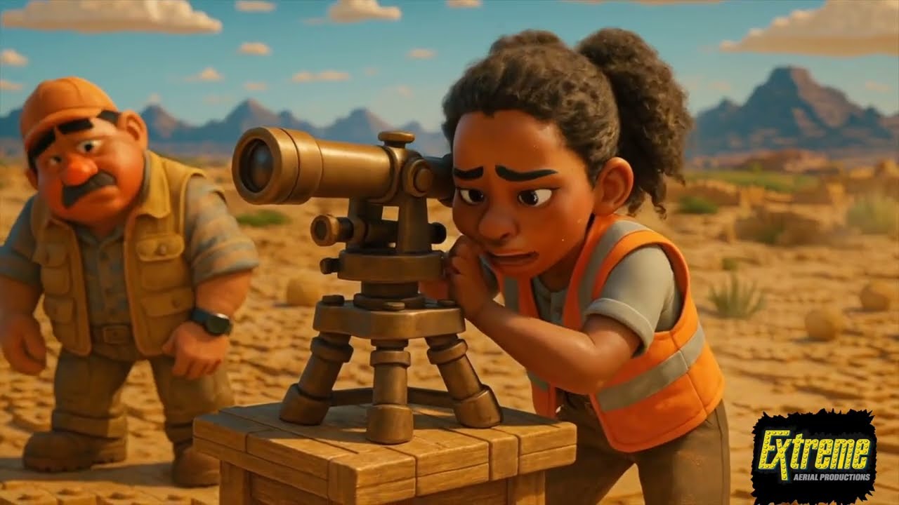
Survey crews don’t need longer days or tougher terrain. This LEGO story shows how Extreme Aerial Productions supports surveyors by taking on the heavy aerial work so your team can focus on precision, control and final sign-off.
Our drones capture large sites in hours, producing accurate point clouds, surfaces and orthomosaics that drop directly into your CAD workflows. We work under your standards, on your control, and with your tolerances so every deliverable reflects your expertise.
Surveyors across Arizona and Nevada rely on EAP to extend field capacity, reduce rework, improve safety and clear backlogs without hiring more staff. We’re not competition. We make your team stronger.
Please visit our website for more information: https://www.extremeaerialproductions.com
🎬 Extreme Aerial Productions – Premium Drone Cinematic & Aerial Services
Welcome to Extreme Aerial Productions — crafting breathtaking drone videography and aerial photography since 2014. Our expert team delivers cinematic content tailored to:
• Commercial real estate & development — showcasing properties, warehouses, job sites, and large-scale infrastructure
• Construction & industrial sectors — capturing progress, site overviews, plant processes (e.g. asphalt production) and time-lapse builds 
• Corporate & marketing promos — filming branding stories, site unveilings (Viawest, CBRE), and business landscapes 
• Special events & architectural showcases — capturing experiences at Aasbo, The Sphere Las Vegas, The Athletics Stadium Build in Las Vegas and immersive flythroughs 
What sets us apart:
• Cinematic quality & eye‑catching footage
• Licensed, insured, FAA‑compliant pilots
• Turnkey services: from storyboard to post‑production
• Latest drone tech, including cinewhoops for dynamic low‑altitude shots  
🔔 Subscribe and hit the bell to see our newest aerial projects, behind-the-scenes insights, and cinematic techniques.
Let’s elevate your brand with immersive aerial storytelling.
Extreme Aerial Productions, lego surveyor, surveyor drone mapping, survey drone partnership, drone topo survey, photogrammetry for surveyors, lidar survey drones, uav mapping arizona, uav mapping nevada, construction survey drone, civil engineering survey drone, point cloud survey, cad surfaces from drones, aerial mapping for surveyors, extreme aerial productions, survey workflow support, large site drone survey

Информация по комментариям в разработке