A coastline drawn centuries before it was officially charted. A continent mapped long before explorers confirmed it existed. Across archives and museums lie charts that question our understanding of humanity’s reach and knowledge of the world through time. What if the story of exploration began far earlier than we imagine?
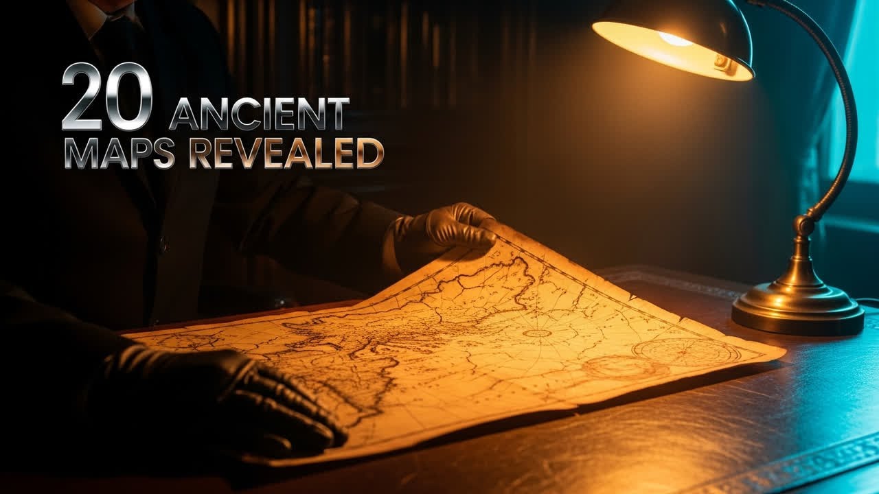
In this full-length research documentary, we examine 20 Ancient Maps That Depict Lands Before They Were Officially Discovered, from the legendary Piri Reis chart to Korea’s Kangnido map. Experts in cartography, archaeology, and historical geography guide you through evidence of early mapping precision, lost navigational data, and the global exchange of maritime knowledge. Each map, studied with modern analysis tools, offers clues into forgotten routes, knowledge transfer between cultures, and technological insight that still surprises historians in 2025.
🔹 Reveals how Renaissance cartographers preserved fragments of ancient worldviews
🔸 Analyzes ink composition, dating, and imaging results from current museum research
⭐️ Investigates Norse, Ottoman, and East Asian contributions to early global charts
✧ Unpacks the tension between myth, observation, and empirical measurement
🌍 Compares regional mapping traditions across Europe, the Middle East, and East Asia
📍 Evaluates scholarly interpretations versus enduring public speculation
🧭 Highlights how theories like Terra Australis Incognita shaped real exploration routes
Which ancient map challenges your view of when global geography was truly understood? Share your thoughts below, and subscribe for more evidence-based historical investigations and long-form documentary studies on world exploration.
🎯 Keywords: 20 Ancient Maps That Depict Lands Before They Were Officially Discovered, historical cartography, Piri Reis, Vinland Map, Terra Australis, Portolan charts, Buache Map, Kangnido, Zheng He, ancient navigation, lost civilizations, early geography, world mapping history, cartographic analysis, antique charts, pre-Columbian exploration, map reconstruction, geographic discovery
📌 Related Topics: History Documentary, Archaeology Research, Maritime Exploration, Ancient Science, Cartographic Analysis
#AncientMaps #HistoryDocumentary #Cartography #ExplorationHistory #HistoricalAnalysis #Geography #Archaeology #MapDiscovery #DocumentaryResearch #LostKnowledge
If you love a good story, subscribe and join our creative saga. / @forgottenpaths40
Watch "How ONE System Turned Stone and Labor Into the Great Pyramid" here: • How ONE System Turned Stone and Labor Into...
Watch "Why These 30 Ancient Tools Have No Clear Purpose" here: • Why These 30 Ancient Tools Have No Clear P...
00:00 The Piri Reis Map Mystery
01:28 Antarctica on a 1513 Chart
04:04 The Vinland Map Controversy
08:07 The Zeno Map and Phantom Islands
13:20 The Cantino Planisphere Espionage
16:43 Naming America and Predicting the Pacific
21:03 Buache's Theoretical Antarctica Map
25:20 Fine's Heart-Shaped World Map
29:25 The Ali Macar Reis Map Accuracy
34:05 The Korean Kangnido World Map
38:14 Ptolemy's Geography Rediscovered
41:35 Portolan Charts: Sailors' Secret Maps
45:50 The Dieppe Maps and Java la Grande
49:40 The Phantom Island of Hy-Brasil
53:49 A 1513 Map Hinting at Australia
58:11 Schöner's Globe and the Drake Passage
01:02:39 The Lost Maps of Zheng He
01:07:21 Echoes of the Library of Alexandria
01:11:40 The Myth of Terra Australis
01:15:04 Modern Science and Map Authentication
01:19:13 Rewriting the Timeline of Exploration
01:24:50 The Fragile Nature of Human Knowledge

Информация по комментариям в разработке