Welcome to Kiran Kumar's Channel
Moro Rock Trail - View from Top, Kings Canyon & Sequoia National Park, CA || Kiran Kumar
Thank you for watching the video, please subscribe & support for more videos
On the second day of our trip to Sequoia we started early morning around 5 AM from the hotel, as it would be best to visit early morning since you can watch good sun rise, there will be plenty of parking and third will be very less crowded and once can nicely enjoy the view and hike.
As you enter Sequoia National Park, Moro Rock looms overhead, thousands of feet above the highway. Moro rock is a large granite dome, a spectacular geologic feature that can be enjoyed from above or below. The trial to Moro Rock to the top is a 0.5 mile heavily trafficked out and back trail. It offers the chance to see wildlife but very rare and is rated as moderate. The trail is best used from May until October, but if you can hike inside the forest near Moro rock, there are heavy chances that you be encountering deers and bears.
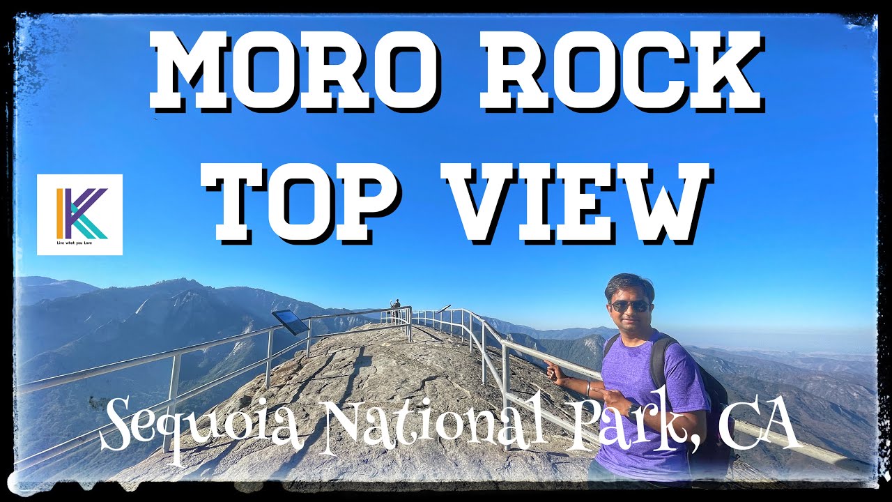
This video is of 2 mins showing the top of the Moro Rock , capturing 360° view of sequoia national forest. Please watch the next video full hiking video to the top the Moro rock and the link is in the below description.
The hike up Moro Rock is composed of over 350 steps and every quarter mile climb you can see a view point to capture spectacular view. It is know as one of the most popular hikes in Sequoia National Park is well earned.
Moro Rock rises 6,725 feet above sea level, but hikers only have to climb the last 300 feet of that elevation to enjoy the vast panoramic views. The trail is half a mile round trip, crossing ledges that will give wobbly legs to anyone with a fear of heights.
Panels at the trailhead explain that Moro Rock began forming 100 million years ago when molten rock rose upward and cooled into granite. The movement of Moro Rock created earthquakes that assisted in the erosion of the surrounding material to expose the rock.
As you climb, views open up from the foothills and San Joaquin Valley to the west, to deep into wilderness to the east.
Handrails along the way make the climb relatively safe, though you should keep a close eye on small children because of steep dropoffs along the entire route.
In summer, free shuttles run from Giant Forest Museum to the Moro Rock parking area. On weekends, the road closes to private vehicles and shuttles are the only way to reach Moro Rock and Crescent Meadow. On weekdays, the road remains open, but the small parking area may fill. Peregrine falcons nest on Moro Rock in summer, and there are usually climbing closures for technical rock climbers to protect nests. These closures don't affect hikers using the stairway.
In winter, Moro Rock / Crescent Meadow Road closes with snow. Though ski trails lead to the parking area, the stairway is closed due to the danger of the icy or snowy steps.
Distance: .4 miles (2/3 km) one way to the summit
Elevation: 6,400 - 6,700 ft.
Difficulty: Moderate
Time: 20-30 minutes (not including stops for rest or picture taking)
Pets are not permitted on any trails within Sequoia and Kings Canyon National Parks, but are allowed 100 feet from roads in developed areas (picnic areas, campgrounds, and roads).
Short Movie made in iPhone: • Sequoia & Kings Canyon National Parks,Ceda...
Day 1:
Scenic Drive to Slick Rock Recreation Area - • Scenic Drive - Sierra Dr - Lake Kaweah - S...
Slick Rock Recreation Area - • Slick Rock Recreation Area, Three Rivers, ...
Scenic Drive to Sequoia National Park - Upcoming
Day 2:
Tunnel Rock - • Tunnel Rock - Sequoia National Park, Calif...
Moro Rock Top View - • Moro Rock Trail - View from Top, Kings Ca...
Moro Rock Trail - • Moro Rock Trail - Complete Hike, Kings Ca...
Hanging Rock Trail - • Hanging Rock Trail - Sequoia National Park...
Day 4:
Grizzly Falls Picnic Area - • Grizzly Falls Trail, Kings Canyon & Sequoi...
Roaring River Falls Picnic Area - • Roaring River Falls Trail, Kings Canyon & ...
#Drive #GeneralHighway #SequoiaNationalPark #KingsCanyonNationalPark #ScenicDrive #California #southerCalifornia #Camping #RecteationArea #SlickRockRecreationArea
#GrizzlyFalls #Waterfalls #PicnicArea #GrizzlyFallsPicnicArea #MoroRock #MoroRockTopView #MoroRockTrail

Информация по комментариям в разработке