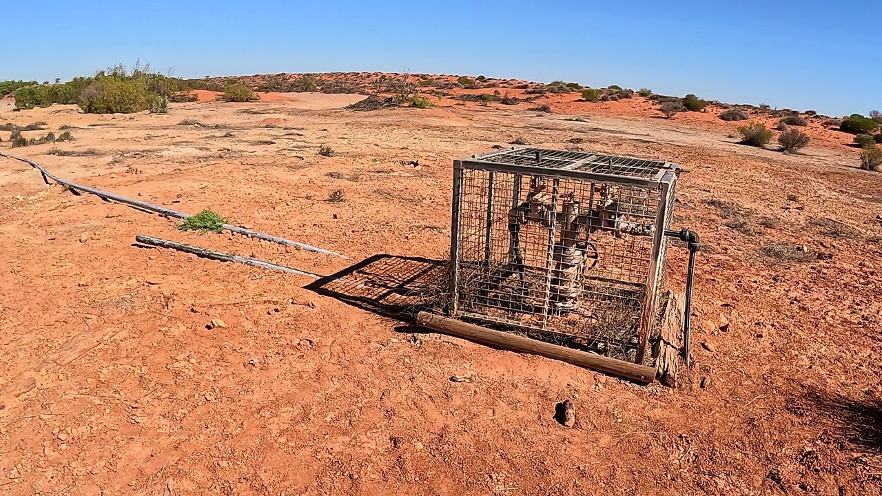
Day-02. From the Simpson Desert National Park boundary to Purni Bore - west on the French Line.
Trip: ~1400km loop of the Simpson. E-W QAA-French, W-E Madigan-Hay-QAA.... Departed Birdsville at sunrise on 17th of May 2024, headed across the QAA Line and the Eyre Creek Flood Bypass to Poeppel Corner, across the French Line to Mt Dare. Returned via Old Andado, the Madigan line to camp 16, then down Hay River Track and back through the QAA Line due to flooding on the eastern part of the Madigan...
Overview Map: https://drive.google.com/file/d/1ruJP...
Hema Simpson Map: https://drive.google.com/file/d/1sDFa...
Me: 50's from Tassie, I'm not particularly fit and I have a few issues, dodgy knees and such so I ride seated 99% of the time. I'm a fairly low-skilled rider who's extra cautious due to riding solo, I just plod along doing my best to stay upright and to keep myself and the bike in one piece. I'm a poor sand rider but I LOVE the deserts.
Bike: 2010 Yamaha WR250R, purchased in 2014 with ~1000 km on the clock, it's now at ~75,000+ km, most of it's mileage has been offroad, some in Tassie but mainly heavily loaded outback/desert/remote mainland exploring… Motor/intake/exhaust is all 100% stock, no mods, but I've installed an 18L IMS fuel tank, Seat Concepts seat, Screensforbikes Screen, Cycleracks rear rack with home-made side arms to carry the dry-bags, D606 tyres, 13/48 sprockets, standard front suspension, rear shock re-valved by Tecknik with a heavier spring.
Fuel: 95 Premium
Departed Birdsville with 18L in the tank +9L+9L in FlexiMake Bladders = 36L total.
565km to Mt Dare, Arrived with 9.6L left in tank.
(Birdsville to Mt Dare = 24.6L used = 21.4km/L = 4.67L per 100km)
Filled tank with 8.4L to bring it up to 18L +13L+12.5L in bladders = 43.5L total
832km back to Birdsville, Arrived with ~3.5L left in tank.
(Mt Dare to Birdsville = 40L used = 20.8km/L = 4.8L per 100km)
Water: 6L MSR Bladder, 3L CamelBak Bladder in backpack, +600ml water bottle, +~5L in a silver commercial box water bladder on Madigan half. I carried another 3L bladder, an MSR Thru-link filter, and purifying tablets so I could filter some Eyre Creek water on the way back if I was running low, but didn't need to.
Camera: Gopro Hero 12 Black, recording at 4k 50fps, Stabilization, no boost.
Powered by a 20,000mAh power-bank in my jacket pocket via a USB cable.
Data storage was on 3x 512gb and 2x 256gb Samsung memory cards.
Total trip was about 710GB of data for roughly 37 hours of footage.
(Be mindful the wide angle lens makes all the dunes look very flat)
GPS GPX file for the whole track:
https://drive.google.com/file/d/10AaP...
Below are the individual days if you want smaller files or other formats, KML files or such..
(To download the files, click "More", then click "Export As File")
1 - Birdsville to 22km west of Poeppel Corner (248km)
https://ridewithgps.com/trips/183341165
2 - 22km W of Poeppel to Mt Dare (317km)
https://ridewithgps.com/trips/183341166
3 - Mt Dare to Madigan Camp-8 (330km)
https://ridewithgps.com/trips/183341167
4 - Madigan Camp-8 to Hay River Track Glove Camp (222km)
https://ridewithgps.com/trips/183341169
5 - Hay River Track to Birdsville (280km)
https://ridewithgps.com/trips/183341171
( #Simpson Desert, #WR250R, #SlowTV )

Информация по комментариям в разработке