CONTENT: Australia / Outback Queensland / Welford National Park
TRAVEL JOURNAL:
01.- 03.10.21
On the 1st of October we left Yaraka Hotel equipped with a mud-map and headed to a self-guided history tour. 40km from Yaraka, after crossing the Powell Creek, we turned to an unremarkable right-hand track which took us through a dry claypan to the lonely grave of goldminer Richard Magoffin. In year 1885 he collapsed in this miserable landscape and perished in thirst. Ironically, the spot is only a few hundred metres from the tree-line of the Barcoo river. A short drive further was the site of the shanty which is believed to be the source of inspiration to the famous bush-poet Banjo Paterson while writing his legendary “Bush Christening”. Besides few aged planks scattered around and piles of broken beer glass bottles, there was not much left of the Magee hut.
Returning to Yaraka-Retreat Rd, we then followed the left-hand track. The lines of old wooden poles with letter and number marks carved into were at first place hard to spot on a yet another claypan. Those over 100 years old survey pegs mark the site of the proposed town of Welford. Unfortunately, it came clear that the area suffered under seasonal floods.
Continuing some 50km on Yaraka-Retreat Rd was the entrance to remote Welford National Park.
The approximately 124 000 ha park was gazetted in December 1994 and is protecting the Mulga Lands, Mitchell Grass Downs and Channel Country bioregions. Positioned transitional zone between eastern and western Queensland the park can be accessed by travelling from Jundah, Windorah, Blackall or Quilpie. It’s one of the most easterly locations to see the Simpson-Strzelecki system dunes. Together with the remoteness, rugged landscape and abundant wildlife, red longitudinal dunes are the key attraction of the park. Sections of the park are recovering from the impacts of pastoral activity.
Currently there is one camping area located by the Little Boomerang Waterhole. Though it offers drop toilets, there is no drinking water nor phone reception. During the dry season, the campsite is accessible by 2WD but as the park offers three different 4WD routes, the diversity is best explored by a 4WD. Our visit at the beginning of October is considered to fall into summer-build-up and the 40 degrees heat was matching to the desert-like landscape.
To reach to camp we turned off from Romula Road and followed the signs of River Drive. The landform known as “the Jetty” is a natural rock bar on Barcoo river and made a nice picnic spot. The Little Boomerang Waterhole Camp is another spot further at the Barcoo river.
In the following morning, utilizing the cooler part of the day, we headed for the 22km long Desert Drive. At first, we passed the Desert Waterhole, after which the red sand-track lead us to notorious Little Red. 8000-10000 years ago, during an arid period, wind blew sand from the Lake Eyre basin which deposited dunes over the underlying clay soil. Spinifex, having an enormous deep root system, prevents the sand shifting. Alongside to animal tracks, we added our footprints onto the red sand.
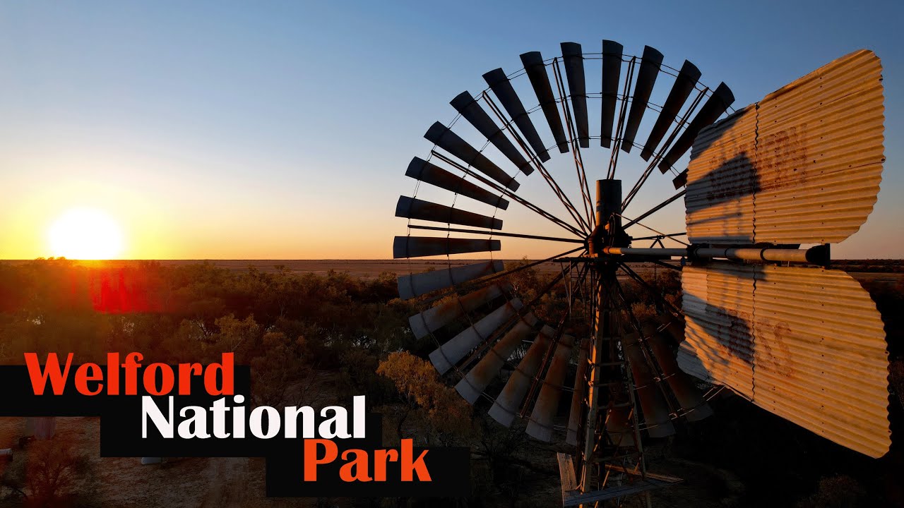
Despite of the hopeless-looking landscape, the drive continues with the remnants of pastoral history – windmills once pumped artesian water into troughs for animals to drink and a 1800m deep bore draw underground oil.
From the scorching mid-day sun we retreated to our camp by the river. Though cooking by the fire didn’t help to escape from the heat. Having spare time, Agni thought to experiment with baking a cake from available ingredients. It seemed that sponge-like dough was fitting for baking with our improvised cast iron pot oven.
The 71 km long Mulga Drive explores the gidyea and mulga covered Eastern part of the park which is dominated by rocky hills and stony plains with a thin soil consisting mainly of partially weathered rock fragments (lithosols). This is typical landscape for Channel-Country station-life and the drive started with a view to old pisé construction (rammed earth) of Welford Homestead. Frances Waterhole offered diversity into the dry landscape and the drive culminated with the Sawyers Lookout which is named after a dog-catcher who in mid 20th century to keep the sheep safe for 30 years trapped dingoes and wild dogs in the area. Though only a 1.2km return stroll on rocky escarpment, due to 40 C it turned into a real fight with heat-stroke – a clear reminder to how less it is actually needed to perish on this landscape. The big River Red Gums and Coolabah trees by the nearby Sawyers creek were excellent to cool down. The drive back over the empty channels offered a bit 4wd thrill.
NEXT
We reach to Windorah, the last settlement with shops and fuel before Birdsville, and tackle for almost 400km near emptiness.
/ sweephorizon
Filmed with IPhone7, SamsungS10e, DJI Mavick Air 2s and edited with IPhone 7
Enjoy watching!!!
#sweephorizon

Информация по комментариям в разработке