Join Yaya F. Nyassi, a GIS and Forestry Survey Specialist at the Department of Forestry, as he presents his final project on Geospatial Tools for Mangrove Monitoring at FAO Gambia! Yaya brings a strong background in development studies and applied forestry, with expertise in forest monitoring, mapping, and data analysis.
Yaya's presentation delves into the fundamental understanding and practical application of remote sensing for mangrove assessment:
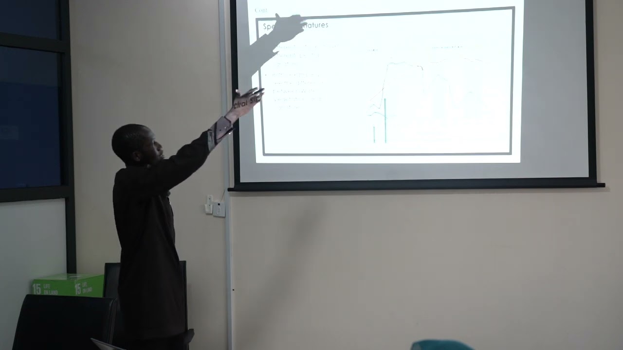
• Understanding Optical and Radar Remote Sensing:
◦ Optical satellites rely on reflected sunlight from the Earth's surface. Different objects like vegetation, water, soil, and buildings absorb and reflect light differently.
◦ Spectral Signature: This refers to the unique pattern of light reflectance or absorption by a material across different wavelengths. For instance, vegetation reflects most at near infrared and lowest at the visible spectrum, especially green. Water reflects most in the visible area, while bare soil shows an increase towards the near infrared. This unique signature allows satellites to distinguish between different features.
◦ Why Plants Appear Green: Plants absorb red and blue light but reflect green light, which is what our eyes perceive, making them appear green.
◦ Optical vs. Radar Remote Sensing Differences:
▪ Light Production: Radar satellites can produce their own light, allowing them to operate at night, unlike optical satellites which rely on reflected sunlight.
▪ Cloud Penetration: Radar can penetrate clouds and even tree canopies, which optical satellites cannot, as clouds act as a barrier.
▪ Bands: Optical satellites typically have more bands, especially in the visible area, compared to radar.
▪ Data Interpretation: Data from optical satellites is generally easier to interpret than radar data.
• Supervised Classification using Landsat and SRTM in Google Earth Engine:
◦ Landsat 8 (optical) handles filtering, cloud, and shadow masking to provide clearer images, as clouds can obstruct satellite imagery.
◦ SRTM (radar) provides elevation data, which helps in determining tree heights.
◦ The combination of Landsat and SRTM allows for comprehensive mapping, providing composite images with bands, spectral indices, and elevation data.
◦ Data Generation & Accuracy: In Google Earth Engine, data points are generated, with 70% used for training the machine and 30% for testing to assess the accuracy of the model.
• Generating Mangrove Maps and Analysis in Google Earth Engine:
◦ Yaya demonstrated how to generate a mangrove map for a specific area of interest (e.g., Kawan/North Bank region) using pre-existing code and tools like ChatGPT for code editing.
◦ He emphasized comparing the generated map data with data from the Global Mangrove Watch platform to ensure accuracy and identify significant differences.
◦ For the North Bank region, his project showed a mangrove extent of 309 square kilometers compared to Global Mangrove Watch's 393 square kilometers, indicating no significant difference.
◦ Google Earth Engine allows detailed information extraction, such as maximum canopy height (e.g., 55.5 meters) and above-ground biomass (e.g., 37 tons) for specific areas.
• Generating and Classifying Sentinel-2 Mosaic in Sepal:
◦ Yaya also briefly discussed using Sepal, another platform, to generate and classify Sentinel-2 mosaics.
◦ This involves creating an optical mosaic for a chosen area (e.g., Lower River Region), setting dates, and selecting specific bands.
◦ The final classification aims to clearly delineate mangroves (e.g., in green) from other vegetation and land cover. He noted that Google Earth Engine provides more detailed data, such as height and biomass, than Sepal.
Yaya's project provides a practical guide to utilizing various geospatial tools and understanding remote sensing principles for effective mangrove monitoring.

Информация по комментариям в разработке