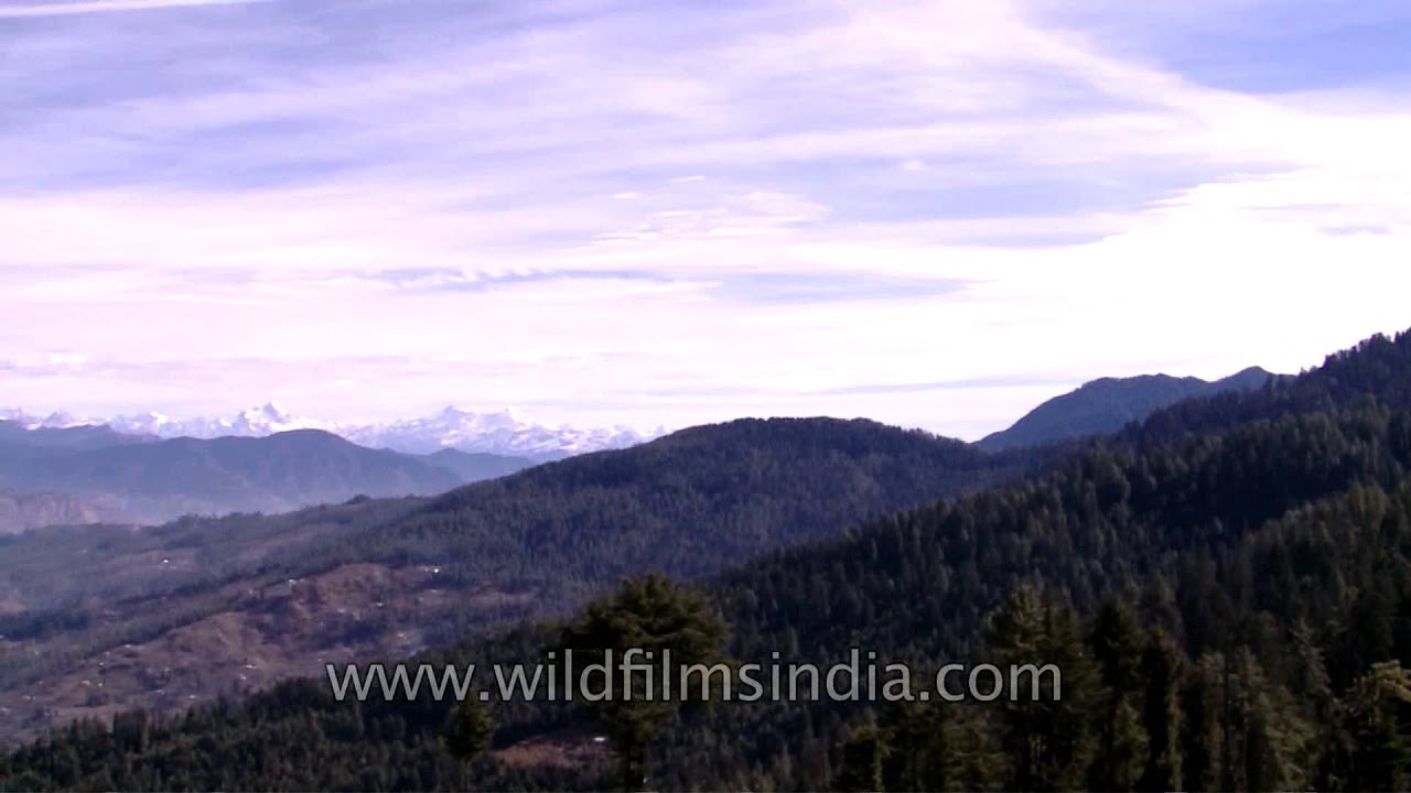
Himalayan panorama from Himachal Pradesh.
Kuppad peak is in upper Shimla and is the origin of Giri River. The average altitude is more than 4000 meters. The trek to Kuppad is about 15-18 kms from Kharapathar, the trekkers will witness serene and mesmerising beauty of varied vegetation like thick Deodar woods, green pastures full of flower (in August) and a small stream . 3 to 4 kms of trek is on the side of Giri stream, a Giri Ganga temple on the way is nice place to relax but the real trek starts from there only. Above all when you reach the heights (Kuppad peak) the view of the majestic mountains, the valley of Jubbal and Chopai on either side of the peak will relax your mind and soul.
The Himalayas, also Himalaya, literally, "abode of the snow" is a mountain range in Asia separating the plains of the Indian subcontinent from the Tibetan Plateau.
The Himalayan range is home to the planet's highest peaks, including the highest, Mount Everest. The Himalayas include over a hundred mountains exceeding 7,200 metres (23,600 ft) in elevation. By contrast, the highest peak outside Asia -- Aconcagua, in the Andes -- is 6,961 metres (22,838 ft) tall. The Himalayas have profoundly shaped the cultures of South Asia. Many Himalayan peaks are sacred in both Buddhism and Hinduism.
Besides the Greater Himalayas of these high peaks there are parallel lower ranges. The first foothills, reaching about a thousand meters along the northern edge of the plains, are called the Sivalik Hills or Sub-Himalayan Range. Further north is a higher range reaching two to three thousand meters known as the Lower Himalayan or Mahabharat Range.
The Himalayas abut or cross five countries: Bhutan, India, Nepal, China, and Pakistan, with the first three countries having sovereignty over most of the range. The Himalayas are bordered on the northwest by the Karakoram and Hindu Kush ranges, on the north by the Tibetan Plateau, and on the south by the Indo-Gangetic Plain.
Three of the world's major rivers, the Indus, the Ganges, and the Tsangpo-Brahmaputra all rise near Mount Kailash to cross and encircle the Himalayas. Their combined drainage basin is home to some 600 million people.
Lifted by the collision of the Indian tectonic plate with the Eurasian Plate, the Himalayan range runs, west-northwest to east-southeast, in an arc 2,400 kilometres (1,500 mi) long. Its western anchor, Nanga Parbat, lies just south of the northernmost bend of Indus river, its eastern anchor, Namcha Barwa, just west of the great bend of the Tsangpo river. The range varies in width from 400 kilometres (250 mi) in the west to 150 kilometres (93 mi) in the east.
Source: Wikipedia and Facebook
This footage is part of the professionally-shot broadcast stock footage archive of Wilderness Films India Ltd., the largest collection of HD imagery from South Asia. The Wilderness Films India collection comprises of tens of thousands of hours of high quality broadcast imagery, mostly shot on HDCAM / SR 1080i High Definition, Alexa, SR, HDV and XDCAM. Write to us for licensing this footage on a broadcast format, for use in your production! We are happy to be commissioned to film for you or else provide you with broadcast crewing and production solutions across South Asia. We pride ourselves in bringing the best of India and South Asia to the world... Reach us at rupindang @ gmail . com and [email protected].
Snow covered Himalayan mountain peaks

Информация по комментариям в разработке