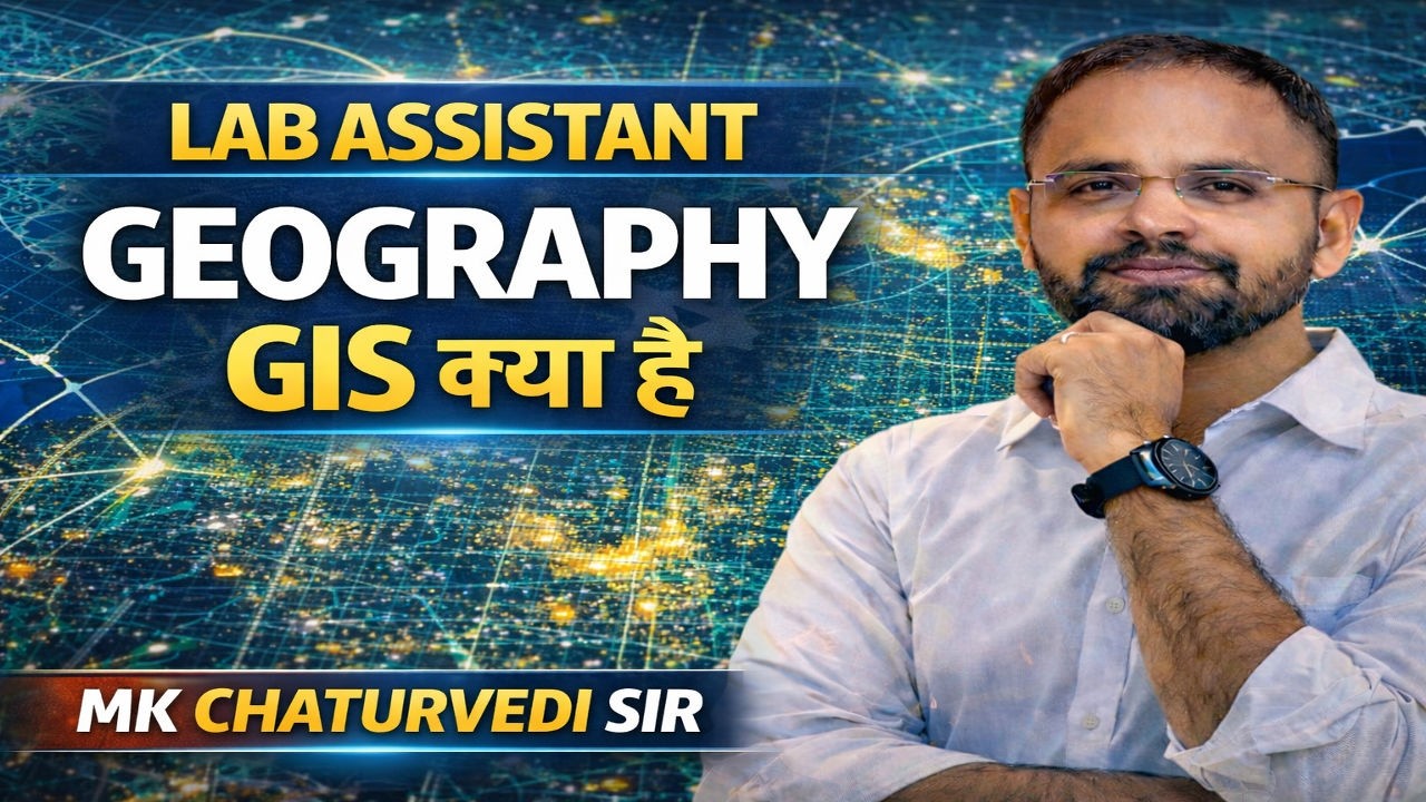
GIS और Cartography Geography के सबसे महत्वपूर्ण Topics हैं जो Lab Assistant Geography, BPSC PGT Geography, School Lecturer Geography, UGC NET Geography और Assistant Professor Geography Exam के लिए अत्यंत महत्वपूर्ण हैं।
इस क्लास में MK Chaturvedi Sir (Zenith Geography Channel) द्वारा GIS (Geographic Information System), Cartography, Map Projection, Scale, Thematic Map, Topographical Map, Remote Sensing, Contour Lines और Map Work को आसान तरीके से समझाया जाएगा।
GIS cartography blends the art of map design with the science of Geographic Information Systems (GIS) to analyze, visualize, and share spatial data. It involves creating accurate, effective, and visually appealing maps by managing map projections, symbolization, and data layers within software like Esri's ArcGIS to reveal patterns and support decision-making.
Core Components of GIS Cartography
Data Representation: GIS uses points, lines, and polygons (vector data) or pixels (raster data) to represent real-world features like roads, rivers, and building footprints.
Map Design Principles: Good design ensures the map is readable and effective. This includes, but is not limited to, using proper visual hierarchy, color theory, and clear labels.
Symbolization and Thematic Mapping: Features are symbolized based on attributes (e.g., road types). Common map types include heat maps, bubble maps, and thematic maps to show data patterns.
Map Projections: Choosing the correct projection is critical to minimize distortion for specific geographic areas, such as using conic projections for mid-latitudes.
Layout and Components: A finished map includes essential elements like a title, scale bar, legend, and north arrow.
Key Aspects of Effective Map Making
Data Layering: GIS allows for stacking different data layers to analyze spatial relationships, such as overlaying flood zones with residential areas.
Scale and Generalization: Maps must be designed for their intended scale, often requiring the simplification (generalization) of features for smaller-scale maps.
Accessibility: Modern cartography emphasizes designing for inclusivity, including color-blind friendly palettes and clear typography.
Applications and Tools
GIS mapping is used across industries, including urban planning, environmental management, transportation, and logistics. Popular software tools for creating these maps include ArcGIS, QGIS, and various Python-based mapping libraries.
यह क्लास विशेष रूप से निम्न परीक्षाओं के लिए महत्वपूर्ण है:
Lab Assistant Geography Exam 2026
BPSC PGT Geography 2026
School Lecturer Geography Exam
UGC NET Geography
Assistant Professor Geography
UP PGT Geography
RPSC School Lecturer Geography
इस क्लास में आपको मिलेगा:
✔ Complete GIS Concepts
✔ Cartography Complete Notes
✔ Map Projection Tricks
✔ Scale and Map Work
✔ Important MCQs
✔ Previous Year Questions
✔ Exam Oriented Preparation
यह क्लास Zenith Geography Channel – MK Chaturvedi Sir द्वारा कराई जा रही है जो Geography की तैयारी के लिए सबसे भरोसेमंद प्लेटफॉर्म है।
अगर आप Lab Assistant Geography, BPSC PGT Geography या School Lecturer Geography Exam की तैयारी कर रहे हैं तो यह क्लास आपके लिए अत्यंत महत्वपूर्ण है।
#GIS
#Cartography
#LabAssistantGeography
#BPSC_PGT
#SchoolLecturer
#Geography
#ZenithGeography
#MKChaturvediSir
#MapWork
#UGCNETGeography


Информация по комментариям в разработке