#AquiferMapping #ArcGISPro #GroundwaterSurvey #GeophysicalAnalysis #ElectricalSounding #GISApplications #WaterResourceManagement
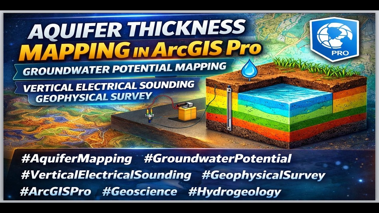
In this informative video, we explore the process of aquifer thickness mapping using ArcGIS Pro and vertical electrical sounding techniques in geophysical surveys. Discover how to assess groundwater potential effectively through advanced GIS methods. We’ll guide you through the steps of integrating geophysical data with GIS to visualize aquifer characteristics and thickness. This tutorial is designed for hydrogeologists, environmental scientists, and GIS professionals looking to enhance their skills in groundwater analysis. Join us to gain valuable insights into groundwater resource management and improve your geospatial analysis capabilities! Don’t forget to like, share, and subscribe for more GIS tutorials!
Buy me a coffee here: https://buymeacoffee.com/geojay
For business and enquiries: WhatsApp+2347065365193 or Email: [email protected]
WhatsApp Group: https://chat.whatsapp.com/CvvLBo7Yisg...
Facebook Group: / 1fn4oqzn1l
Related videos:
Groundwater Potential Analysis in GIS Complete Module 2026 | Upgrade Your GIS Skills: • Groundwater Potential Analysis in GIS Comp...
Groundwater potential Zones Mapping Using Remote Sensing and GIS in ArcGIS | Weighted Sum Method: • Groundwater potential Zones Mapping Using ...
Groundwater Potential Analysis: AHP pairwise comparison of groundwater potential factors/criteria: • Groundwater Potential Analysis: AHP pairwi...
Find relationship between Groundwater potential and Borehole Yield: • Find Relationship Between Groundwater Pote...
SPECIAL GIS MODULES FOR YOU:
Groundwater Potential Analysis in GIS A Complete Module: https://buymeacoffee.com/geojay/e/498877
How To Produce Geological Map Shapefile or Generate Geology Shapefile of any Area: https://buymeacoffee.com/geojay/e/478816
NAquifer Thickness Mapping, ArcGIS Pro, Groundwater Potential Mapping, Vertical Electrical Sounding, Geophysical Survey, GIS Techniques, Hydrogeology, Water Resources, Aquifer Mapping, Geospatial Analysis, Groundwater Studies, Electrical Resistivity, GIS Tutorial, Environmental Science, Spatial Analysis, Water Management, Geophysical Methods, Data Visualization, ArcGIS Techniques, Soil Studies, Groundwater Modeling, Hydrogeological Mapping, Aquifer Assessment, Water Quality, Groundwater Exploration, Geological Survey, GIS Applications, Mapping Strategies, Data Integration, Surface Water, Subsurface Mapping, Groundwater Resources, Environmental Monitoring, ArcGIS Tools, Hydrographic Surveying, Groundwater Recharge, Water Supply Assessment, Land Use Planning, Geospatial Technology, Rainfall-Runoff Modeling, Ecosystem Analysis, Terrain Analysis, Remote Sensing, Spatial Data Management, Geological Analysis, Water Table Mapping, Groundwater Contamination, Resource Management, Deep Aquifers, Geological Mapping, Hydrochemistry, Water Variability, Groundwater Flow, Case Studies in Hydrogeology, ArcGIS Models, Geospatial Data, Aquifer Management, Data Analysis, Vegetation Mapping, Population Density Studies, Environmental Impact, GIS Project, Site Suitability Analysis, Plume Mapping, Water Resource Planning, Landscapes and Aquifers, Hydrogeologic Models, Electrical Surveys, Geospatial Visualization, GIS for Engineers, Water Table Depth, Geoscience, Aquifer Hydraulic Properties, Aquifer Behavior, Environmental Assessments, Groundwater Quality Assessment, Geological Features, GIS Standards, Ground Penetrating Radar, Data Acquisition, Water Protection, Aquifer Performance Testing, Science Education, Resource Analysis, Data Collection Techniques, Recharge Areas, Water Supply, Electrical Properties of Soils, Groundwater Hydrology, Hydrogeological Systems, Aquifer Storage, Public Health and Water Quality, GIS Tools for Hydrology, Data Interpretation, Monitoring Geological Changes, Sustainable Water Management, Ridge and Valley Mapping, Sediment Studies, Weathering Processes, Hydrological Models, Scientific Research, Data Layers in GIS, Mitigation Strategies, GIS for Environmental Management, Modeling Groundwater Systems, ArcGIS Pro Analysis, Water Supply Management, Groundwater Exploitation, Socioeconomic Impacts of Water Management, Environmental Remediation, GIS for Conservation, Public Policy and Water Management, Aquifer Stratigraphy, Salinity Effects, Hydrological Research, Field Surveys, Terrain Modeling, Groundwater Levels, Soil Electrical Conductivity, Sediment Thickness, Subsurface Characterization, Water Resource Simulation, Vegetative Cover Mapping, GIS Project Management, Data Validation, Aquifer Vulnerability, Integrated Water Resource Management, Environmental GIS, Urban Water Challenges, Groundwater Maintenance, GIS for Water Quality Monitoring, Seismic Surveys, Research Techniques in Hydrogeology, Data Science in Water Management, Scientific Methodology in GIS, Community Water Projects, Groundwater Depletion.

Информация по комментариям в разработке