In this video, I will give you an introduction to ArcGIS Pro, perhaps the world most popular commercial geographic information system software. Whether you're a beginner, or an existing GIS user, if you want to learn more about what ArcGIS Pro is, then this is the video for you. Topics I will talk about in this video that include: Core Software Interface Elements, Data Management and ArcGIS Online, Data Display and Symbology, Running Queries, Geoprocessing Tools, Layouts, Map Making, and Cartography, Spatial Data Science, Analytics, and GeoAI, Imagery, Python, Programming and Models (Notebooks, ArcPy), Special Tools – 3D, Animation and Networks. I will finish out with going beyond ArcGIS Pro as there is so much more!
Video Chapters:
0:00:00 Beginning
0:00:38 Introduction
0:01:51 Getting the Software
0:02:21 Free 21-day trail
0:02:35 ArcGIS for Personal Use
0:03:08 Esri Nonprofit Program
0:03:26 Esri Campus
0:03:47 Video Overview
0:04:49 Software Version used in the Video (ArcGIS Pro Version 3.2.1)
0:04:57 Core Software Interface
0:05:58 Data Management and ArcGIS Online
0:07:00 ArcGIS Online and Living Atlas
0:07:40 Data Display and Symbology
0:07:55 Symbology Demonstration
0:08:41 Core GIS Concepts – Vector and Raster
0:08:58 Running Queries (SQL)
0:09:20 Query Demonstration
0:09:52 Geoprocessing Tools
0:10:06 Buffer Demonstration with Geoprocessing
0:10:57 Layouts, Map Making and Cartography
0:11:16 Layout Demo
0:11:41 Spatial Data Science, Analytics, and GeoAI
0:12:08 Spatial Analysis and Statistics Toolbox Overview
0:12:28 GeoAI Toolbox Overview
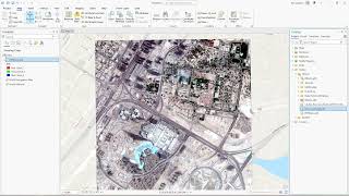
0:13:32 Imagery – GIS and Remote Sensing
0:14:09 Python, Programming and Models
0:14:29 Writing a Python Statement with ArcPy Demo
0:15:21 Creating a Model with Model Builder Demo
0:16:28 Python Jupyter Notebook Demo
0:18:15 ArcPy and VS Code
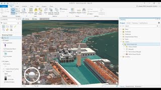
0:18:39 Special Tools 3D
0:18:59 Temporal Data Animation
0:19:07 Network Analysis (Routes) Demo
0:20:06 Other Tools
0:20:19 So Many Possibilities – Explore!
Links used in the video:
Esri - https://www.esri.com/en-us/home
ArcGIS Pro: https://www.esri.com/en-us/arcgis/pro...
21-day ArcGIS Pro trial - https://www.esri.com/en-us/arcgis/pro...
ArcGIS for Personal Use - https://www.esri.com/en-us/arcgis/pro...
Esri Nonprofit Program - https://www.esri.com/en-us/industries...
ArcGIS Online - https://www.arcgis.com/index.html
ArcGIS Living Atlas of the World - https://livingatlas.arcgis.com/en/home/
Cartography and Design - https://www.esri.com/en-us/arcgis/pro...
Spatial Analytics and Data Science - https://www.esri.com/en-us/capabiliti...
Notebooks in ArcGIS Pro - https://pro.arcgis.com/en/pro-app/lat...
ArcGIS Arcade - https://developers.arcgis.com/arcade/
ArcGIS Indoors - https://www.esri.com/en-us/arcgis/pro...
If you liked this and other videos on the geographic information science channel, please like these videos, leave comments, or subscribe to this channel so you can stay informed of new videos.
Subscribe to this channel:
https://www.youtube.com/user/GIScienc...
Also, feel free to contact me if you have any questions, I love hearing from the YouTube community.
Thanks for stopping by!
Brian Tomaszewski, Ph.D.
http://gisfordisastermanagement.com/
/ brian-tomaszewski-452b1387


Информация по комментариям в разработке